File:Ames St 1900.png
From Taylor Wiki
Size of this preview: 377 × 599 pixels. Other resolution: 530 × 842 pixels.
Original file (530 × 842 pixels, file size: 727 KB, MIME type: image/png)
Summary
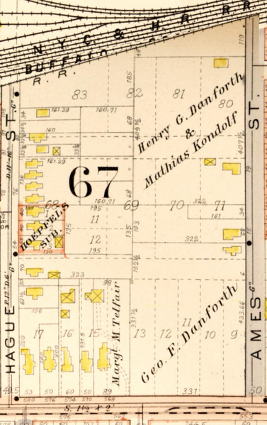
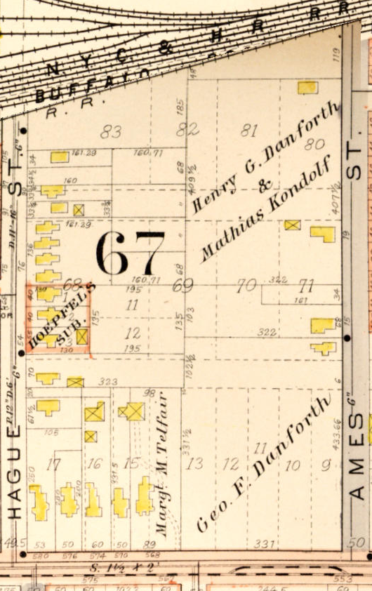
The block between Ames, Hague, West Ave, and the railroad before industrial construction, largely divided into residential tracts.
Plat maps and historical aerial imagery courtesy of the City of Rochester Historic Map Viewer.
File history
Click on a date/time to view the file as it appeared at that time.
| Date/Time | Thumbnail | Dimensions | User | Comment | |
|---|---|---|---|---|---|
| current | 17:56, 17 October 2026 | | 530 × 842 (727 KB) | Admin (talk | contribs) | The block between Ames, Hague, West Ave, and the railroad before industrial construction, largely divided into residential tracts. <div style="font-size: 0.85em; color: #64748b; margin-top: 8px; font-style: italic;"> Plat maps and historical aerial imagery courtesy of the [https://maps.cityofrochester.gov/historic/ City of Rochester Historic Map Viewer]. </div> |
You cannot overwrite this file.
File usage
The following page uses this file: